Bruce's GPS collection (Trip Official)
REVISIONS WERE
- Day 6A: Weaver to Cedartown (replaced Day 6: Centre to Cedartown)
- Day 7: CANCELLED from Smyrna
- Day 8: New Lithonia to Madison
- Day 9: New Madison to Milledgeville
- Day 10: New Milledgeville to Dublin
- Day 14a: Hinesville to Savannah with YMCA
Below it are the GPS links tweaked by Tom
Day 1: https://ridewithgps.com/routes/31766694

Day 2: https://ridewithgps.com/routes/31526179

Day 3: https://ridewithgps.com/routes/31930655

Day 4: https://ridewithgps.com/routes/33312662

SAG from motel to MP 7.2, to avoid traffic and an initial climb. Then 43 miles and 1,986' feet of climb elevation remain. A less-trafficked, purist EFI option is shown on a separate map. It is 59 miles long and comprises 2,905' of climb elevation.

OPTION - https://ridewithgps.com/routes/31864018
NB: very narrow shoulder on picturesque CR67 (8+miles to Langston) possibility that CR 38 (Langston Gap Rd) may be closed to thru' traffic
From: Bob S Sent: May 9, 2022
One thing I remember (no details recalled) was seeing - on Google - the road closed at the left turn up the hill from the lake on the purist option out of Scottsboro. Can't remember why or if its a regular occurrence but may be worth checking with locals or recce-ing, nearer the time.

Day 6: https://ridewithgps.com/routes/32897528
Part BRAG 2002 route in Blue. Also USBR 21 from Cave Spring to Rockmart Silver Comet Trail in Black. IF accommodation does not become available in Rockmart MAY TERMINATE in Cedartown = 53kms, 406 metres elevation gain

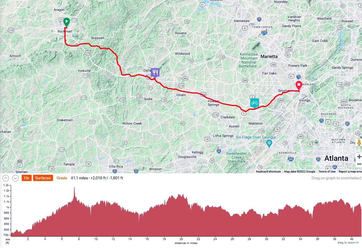
Day 7: https://ridewithgps.com/routes/34547661
Short Day Tour: https://ridewithgps.com/routes/34547870

Short Day Alternative: https://ridewithgps.com/routes/39305954
33 mile loop from Smyrna to Jimmy Carter Library and MLK Ebenezer Church

Day 8: https://ridewithgps.com/routes/33129945

Stone Mountain Loop: https://ridewithgps.com/routes/34539540

Day 9: https://ridewithgps.com/routes/29299137
Black = SBR35, Note late change to start motel in Lithonia

Day 10: https://ridewithgps.com/routes/29299133
Eatonton restaurants generally not open before 11am. Southern Delight Cafeteria worth a short detour? Blue = Deviation from SBR #35. Note change to motel in Milledgeville

EXTRA: Note late changes to start/finish location. Once the capital of
Georgia, Milledgeville is known for its historic architecture, charming
downtown district and recreational experiences. Would be interesting to pinpoint the location where the Oconee River crosses the Fall/Gnat Line.

Day 11: https://ridewithgps.com/routes/29299131

Day 12: https://ridewithgps.com/routes/31941871

Finish the tour with close to a metric century, ahead of tomorrow's 'processional' ride into Savannah. Last 30kms are downhill or mainly flat.

Day 14: https://ridewithgps.com/routes/29295013
Blue line = SBR's 95 & 35, East Coast Greenway

TOM's TWEAKED GPS Collection (Aussie Bob's revised to actual/new motel)
https://ridewithgps.com/collections/46994
No comments:
Post a Comment